Introduction
What follows is a short photo story of an approximately 130-km journey I took with a friend through Sarek National Park (North Sweden) in August 2023. The route we took was a well-established one, starting from Ritsem (Änonjálmme), passing through Ruohtesvágge and Skárjá, winding over Snávvávágge and down into the Rapadalen.
There are many blog posts and books that discuss this route and others in a more matter-of-fact manner, so with this I instead wanted to dedicate space to impressions and feelings. For guidelines on planning a trip to Sarek there is, for example, a book by Karl-Johan Piehl that should come in handy. At the time of writing, there is both an English and Swedish edition, with the Swedish edition in particular including a wealth of information.
Aside from the entries below I did also want to write up a separate, more technically-focused entry on gear I used on this hike. That will follow later on.
Day 1: From Änonjálmme to Sjnjuvtjudisjåhkå
23.5km, 524m ascent
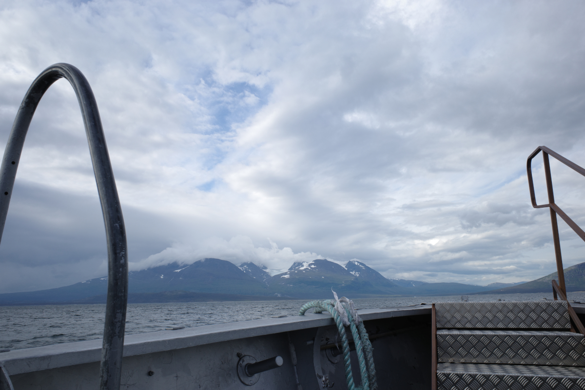
The Áhkká massif from the boat across the Áhkájávrre reservoir, seemingly its own ecosystem of rolling peaks and clouds entangled in ice. The Västtopparna, Dubbeltoppen, Hambergs jökel. The mind settled for the road ahead, drinking in the surroundings. A well-trodden path lies ahead, a soft start to the day, warmth in the air despite the coming and going of clouds.
Walking along this well-defined path, already longing to be further among the wilderness that lies ahead, beyond waymarked trails. Nearer the Kisuris Fjällstuga, a waypoint on the Padjelanta trail, the sense of being away grows a little stronger, turning in its sleep. A bridge across the milky grey-green Sjnjuvtjudisjåhkå and a turn off the trail, the sensation grows. Walking past the Sarek boundary, an invisible transition on the map, also comes with the physical sensation of entering into something new, home for the days to come. The feeling slowly opening its eyes, how long have I waited.
Rain moves through the valley, tents pitched not long before the Kisuriskåtan. Niják nearby and so the small ice field tucked within the side of Gisuris. On the next day the rain has cleared.
Days 2-3: Ruohtesvágge
18.7km, 375m ascent
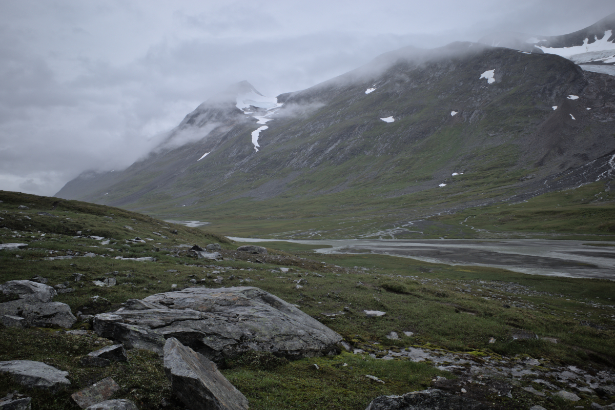
Slowly the valleys begin to deepen and the landscape grows. The morning rays give way to growing cloud. The warm rays of the sun are slowly hidden beneath a layer of grey that straddles the mountaintops, the movement of the wind made tangible in the appearance and disappearance of summits.
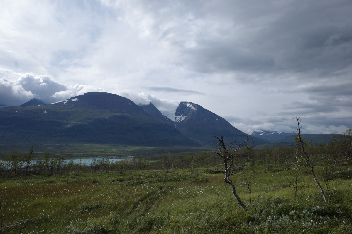
The appearance of Kantberget and Gavelberget, behind them lying the Nijákjiegna and vast Suottaisjiegŋa glacier that one can only picture in the mind’s eye while traversing the valley below.
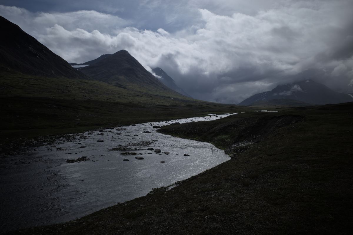
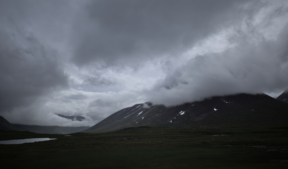
The clouds taking on a heavier appearance, gathering mass and entailing rain to come. It is not soon before the rain begins to fall and the mountain pass changes hue. Feeding the body and the steps then lead downward to grey-black sand and the crossing of the glacial river Smájlajjåhkå. The river split into many streams, flowing fast, grey veins extending through the Ruohtesvágge valley.
As the rain grows heavier, the journey continues over many smaller streams, until camp is made. The weather pattern looks set for the night and the day to follow.
This position of ours in Ruohtesvágge becomes a picture frame for the next day as the wind and rain gather pace. Strong gusts rattle the walls of the tent and the rainfall seems never-ending. Hearing each other in this weather is difficult and we spend a day sheltering from the weather. During short pauses it is possible to exchange a few words and plan the way ahead. Toward Snávvávágge and the dense Rapadalen, or a traverse of the high Luohttoláhko plateau? A choice is made to head toward Rapadalen.
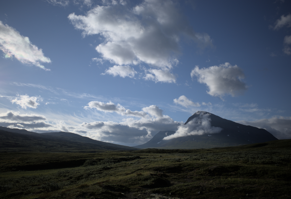
Ultimately the storm passes, giving way to a dance of fire and ice in the sky, among the mountaintops. During these hours I have watched the same backdrop change countless times: Jållok, Vargtoppen, Gávabákte, Gavelberget in the distance, Boajsátjåhkkå on the other side of the valley.
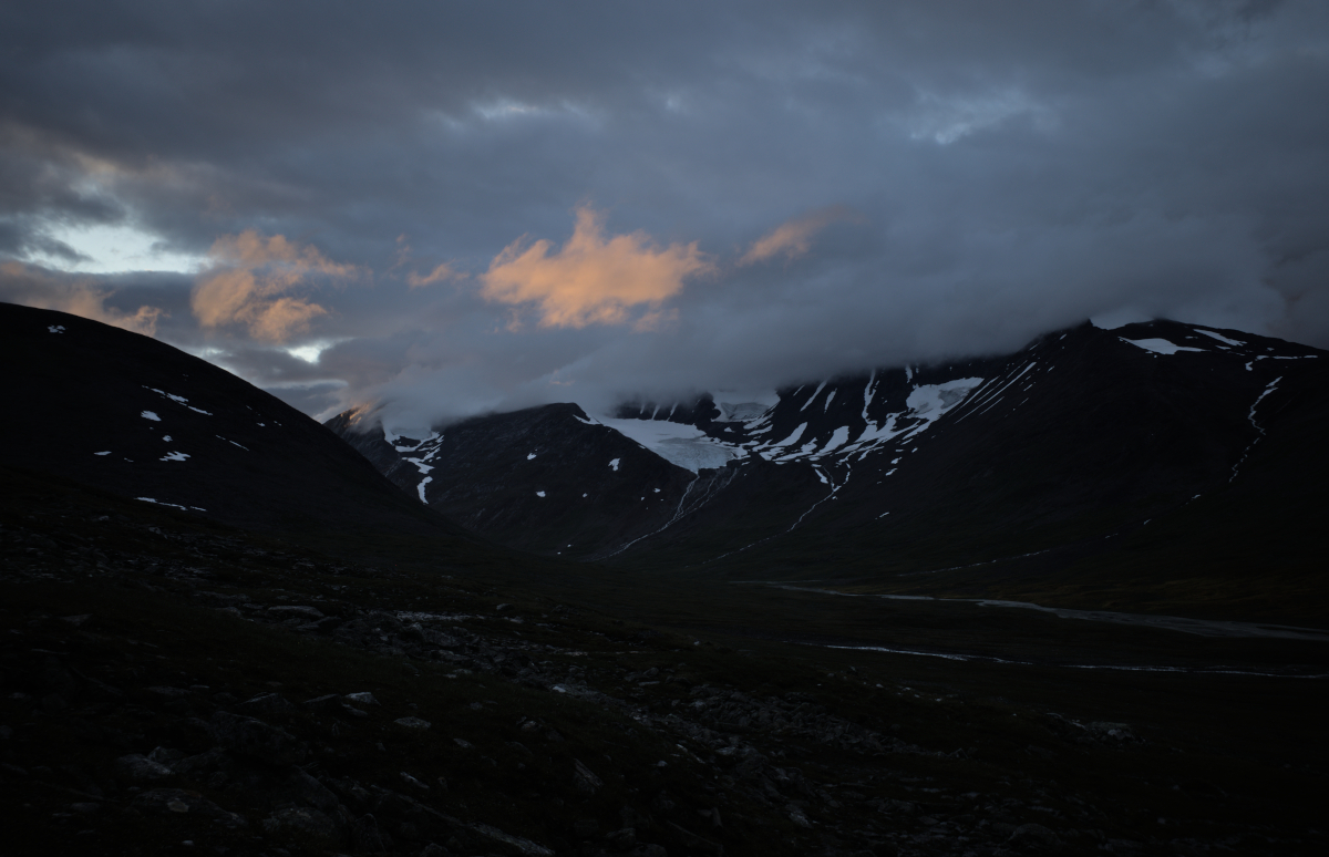
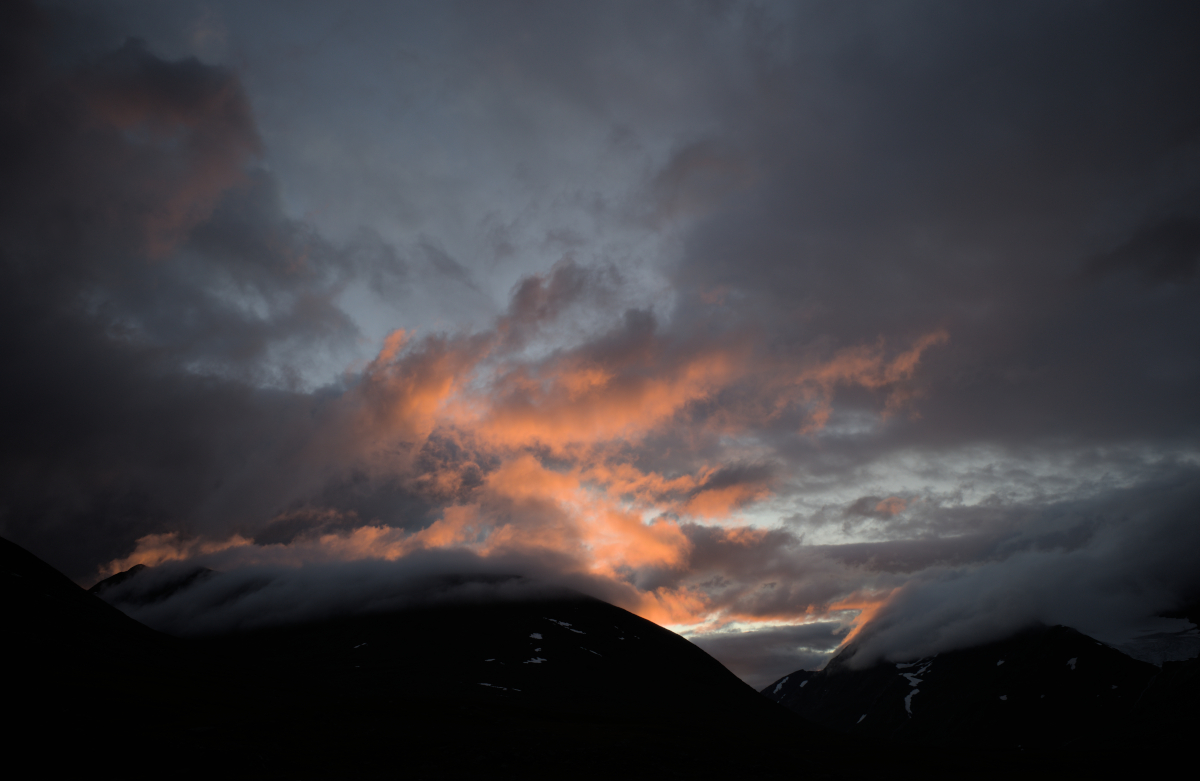
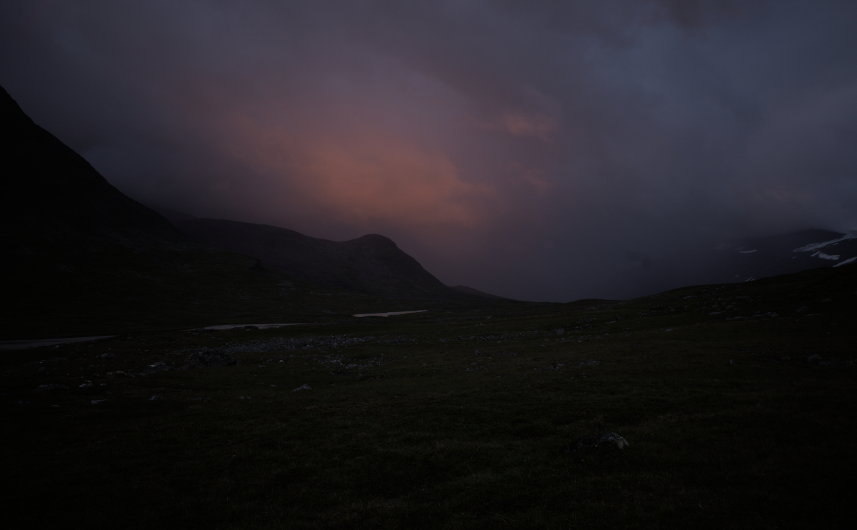
We climb the mountainside to gather in the sunset unfolding ahead of us, a sense of relief as the weather lifts. If one is to believe the forecasts, tomorrow’s weather is looking much more promising for covering some further distance.
This concludes the first part of the story. For the second part, see here.